Annual Meeting of the Joint Board of Geospatial Information Societies26 August 2012, Melbourne, Australia
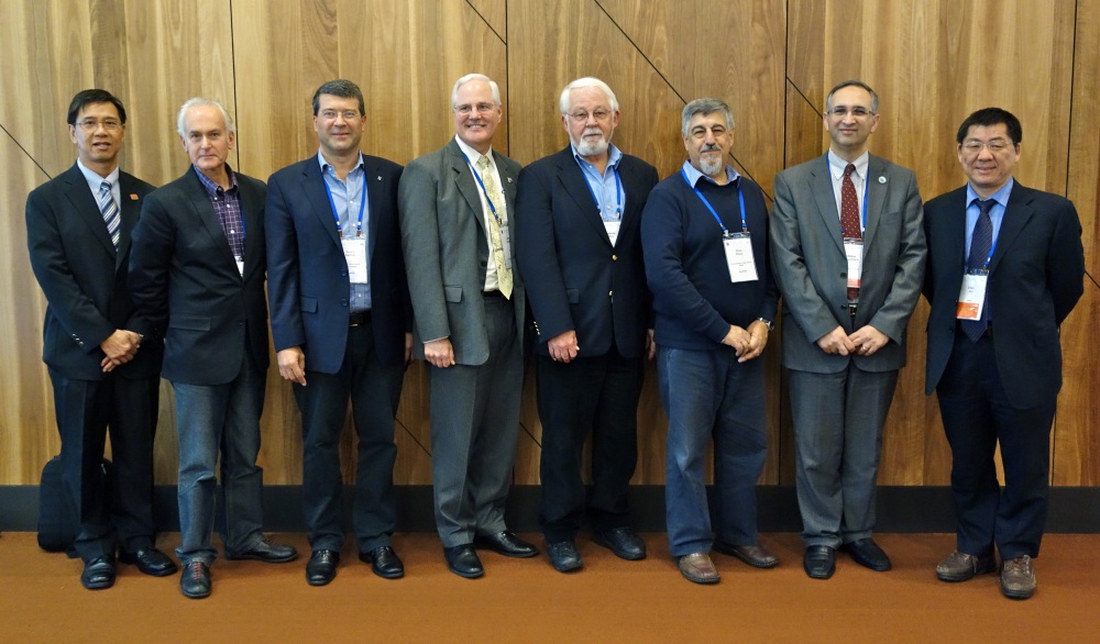
The International Society for Photogrammetry and Remote Sensing (ISPRS) hosted the 2012 edition of the meeting of the Joint Board of Geospatial Information Societies (JBGIS) at its XXII Congress in Melbourne, Australia on 26 August 2012. Prof. William Cartwright from the International Cartographic Association (ICA) chaired the meeting after the welcome by Prof. Orhan Altan, President ISPRS. Preamble JBGIS is a coalition of the Presidents (or the nominees) of recognized international organizations involved in the coordination, development, management, standardisation or regulation of geospatial information and related matters. It’s aim, where possible, is to provide that collective and unified voice at the international level regarding geospatial affairs, especially to the United Nations and to assist in the coordination of relevant activities between the organisations represented by its members. The current members of the JBGIS are the Presidents or equivalent officers of:
It should be noted that FIG has bilateral Memoranda of Understanding with:
and the permanent address of JBGIS is the permanent office of FIG. The FIG Office is responsible for the administration of the online/web presence of JBGIS as well as publication of the minutes of its annual meeting. 2012 Annual Meeting The Presidents of IAG, ICA, FIG, IMIA, ISPRS whilst GSDI is represented by its immediate Past President and IEEE-GRSS by a Past President, attended the 2012 Annual Meeting. Apologies were received from the Presidents of IGU, IHO and ISCGM. The substantive matters discussed included the revision to the Terms of Reference, primarily to clarify that JBGIS is a coalition of Presidents of member organizations and the confirmation of the tenure of the Chair. The decision is that the Chair, which will be rotated amongst member organization, for a duration of one year, from one annual meeting to the next. If there is a consensus at the annual meeting, the tenure of the incumbent chair can be extended further by one-year. JBGIS Ad-hoc Committees The meeting also discussed on the work and progress of its two Ad-hoc Committees. For the Ad-hoc Committee on Capacity Building in Africa, the discussion was around the request for access, access to technologies, access to finance, access to curriculum and access to expertise from within the continent in the context of capacity development for Africa. Noting that a number of the member organizations have ongoing and active capacity development initiatives in Africa including FIG, it was subsequently agreed that this Ad-hoc Committee be dissolved. For the Ad-hoc Committee on Risk and Disaster Management, the progress of the ISPRS initiated VALID Project was presented and noted. The VALID (The Value of Geo-Information for Disaster and Risk Management) Project is a collaborative effort between JBGIS and UN-OOSA led by ISPRS and supported by some JBGIS member organization. The intention of the project is to produce a publication that will provide evidence on the economic, humanitarian, operational and organizational benefit that can be realized by utilizing geo-information in disaster and risk management. The project intends to be based on analyses and assessments of representative cases that will include the classical cost-benefit analysis. FIG supports this JBGIS endorsed initiative and is represented by the current chair of FIG Commission 3, Prof. Yerach Doytsher. International Year of the Map ICA tabled a proposal for the International Year of the Map. An initiative of the Swedish Cartographic Society, the 2011 ICA General Assembly in Paris accepted the motion that ICA should organize an International Year of the Map in 2015 with the primary aim to highlight the essential role of maps in society. ICA proposed that JBGIS endorsed this proposal and work collectively towards a United Nations declaration for the Year of the Map, particularly in view of its Global Geospatial Information Management (UN-GGIM) initiative. In the ensuing discussion, ICA agreed that 2015 might be an ambitious target year when working with the United Nations structures and JBGIS agreed in principle to support the proposal with ICA taking a lead towards the realization of the International Year of the Map. United Nations Global Geospatial Information Management JBGIS was again visible and played its role at the Second Session of the United Nations Committee of Experts on Global Geospatial Information Management (UNCE-GGIM) with the Chair making a presentation on the ongoing role, activities and support provided by member organization towards this initiative. The meeting agreed that JBGIS must continue to be visible and to work collectively to present a single voice on various issues and initiatives. Tenure of the Chair of JBGIS The meeting thanked Prof William Cartwright, immediate Past President of ICA for ably chairing JBGIS and representing JBGIS at UNCE-GGIM for the past one year. The meeting was of the consensus that he should remain as the Chair for a further one-year. This had the agreement of the current ICA President and FIG congratulates and looks towards working with Prof. William Cartwright in the coming year. Venue of the Next Meeting In line with JBGIS aim of having it’s annual meeting attached to a member
organizations event each year, it was agreed that the 2013 edition of the
JBGIS meeting be held at Potsdam, Germany on the eve of the Congress of the
International Association of Geodesy, who are celebrating its 150th
anniversary during this period. CheeHai Teo
26 September 2012 |